Optimizing Water Management in Oil Palm Cultivation Landscapes on Peatlands as an Effort to Harmonize Production, Peat Conservation and Fire Prevention
Summary
The clearing of peatlands along with canalization for oil palm cultivation has been going on for years in Indonesia and triggering forest and peat fires, haze disasters, carbon emissions, and subsidence. On the other hand, oil palm plantations and related industries have an important contribution to the community and national economy. How is environmentally friendly oil palm cultivation a win-win solution to this problem. The principle of protecting peatlands from causing environmental problems is to keep them always wet/humid. Therefore, appropriate water management is the key to environmentally friendly oil palm cultivation on peatlands. Considering that in one KHG (peat hydrological unit) or landscape, there are many stakeholders, it is necessary to optimize collective water management between interests based on water balance conditions, as an effort to harmonize economic interests (oil palm cultivation) and save the environment.
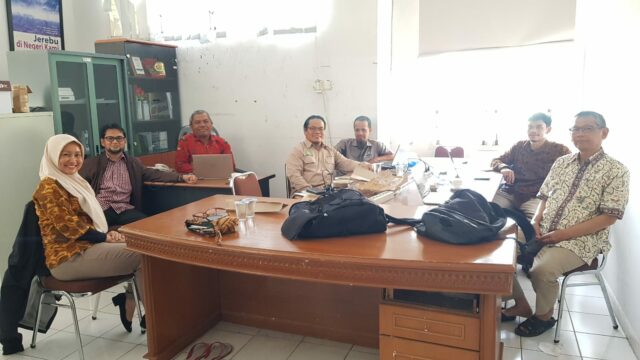
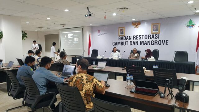
This activity partners with government institutions, namely BRGM-RI (Mangrove and Peatland Restoration Agency-Republic of Indonesia), and private institutions, namely PT. SMART Tbk. who runs the palm oil business. The purpose of this activity is to develop and implement an optimization model for collective water management in oil palm cultivation landscapes on peatlands as an effort to harmonize production, peat conservation, and forest and land fire prevention. The location of the proposed activities is in the KHG Sungai Enok – Sungai Batang, Indragiri Hilir Regency, Riau Province (on a macro scale), and in the plantation landscape of PT. Bumi Palma Lestari Persada (PT. BPLP) owned by PT. SMART Tbk. and surrounding community land (for micro-scale).
This activity resulted in the MONALAGA hydrological model (Peatland Water Balance Model) which can be used to calculate the water balance in peatlands both at the landscape and KHG scales. The results of this modeling can be used as a basis for further optimizing water management in order to obtain a win-win solution. A water management master plan was also produced which could be used as a reference by the BRGM-RI to further optimize the government’s program for wetting peatlands.
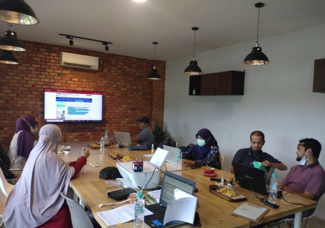
This activity involves 7 lecturers and 12 students from 5 study programs/faculties, where each student has their own research topic which is their final project with a credit transfer of 4 to 6 credits. Students are involved in every activity from start to finish, so they can not only do research for their final assignment but also have the opportunity to interact with partners further to understand the world of work. This activity has an important meaning in strengthening and realizing UNRI’s Center of Excellence (CoE) which carries the theme of wetland ecosystems and disaster.
Activities
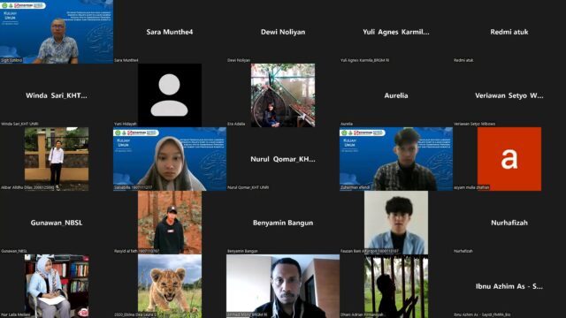
1. Kick off Meeting and Public Lecturer

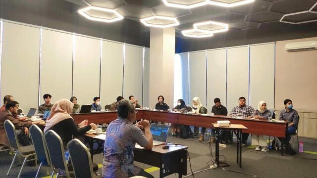
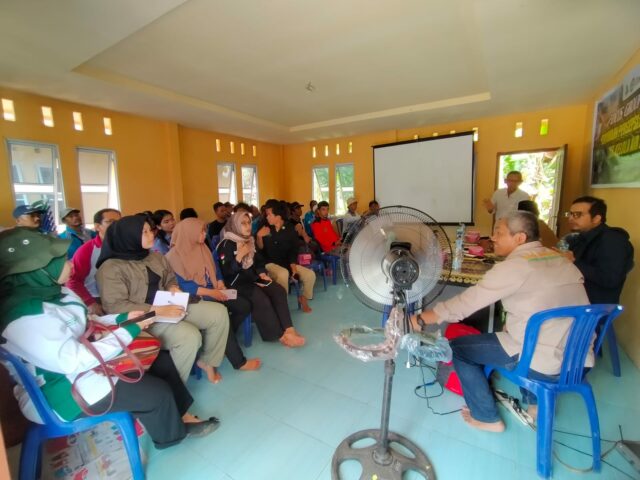
2. FGD-1. Socialization and Problem Identification

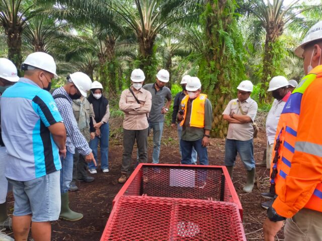
3. Workshop

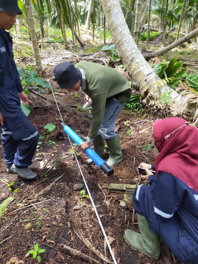
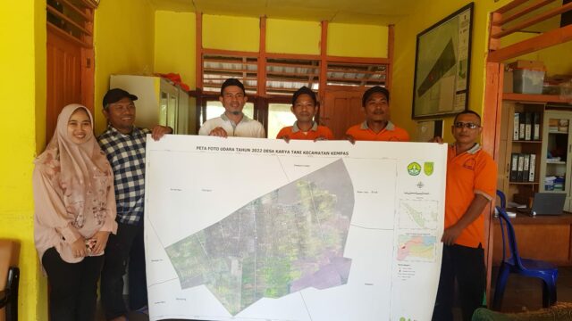
4. Spatial mapping, biophysics, and social economy
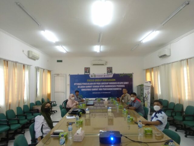
5. FGD-2: Preparing agreement on collective water management

6. Hydrologic Modelling for Water Balance Analysis
7. Design Masterplan for Water Management and Monitoring System

8. Reporting and Publication
9. Workshop for Implementation and Further Development

One comment
Cassandra Bavin
3 August 2023 at 12:06 am
Dear unri.ac.id owner, You always provide clear explanations and step-by-step instructions.